North to South Tour - Day 22
07/16/2008 13:00:00 by AdministratorFrom: Lolo, Montana
To: Sula, Montana
Today: 75 miles - 1194 miles total
![]()
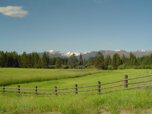
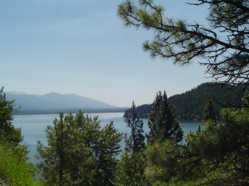
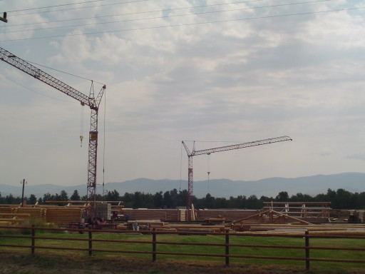
Today we spent cycling the Bitteroot Valley, between the Bitteroot Mountains to our west and the Sapphire Mountains to our east. It was another great day. Even though we spent the majority of today's travels on Rte 93, it had wide shoulders which let us not concentrate on the traffic. The farther we got away from Missoula, the less traffic.
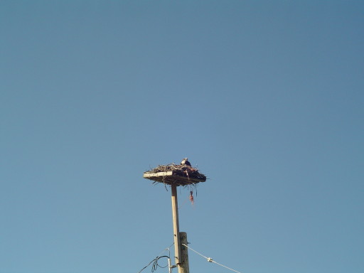
The Bitteroot Valley is a south-north valley, made from an old lake that makes this land very fertile. The Bitterroot Mountains had snow dotted peaks, while the Sapphire Mountains were covered with trees. The valley was full of ranches and log cabin retreats. There was a number of log home manufacturers along the route (see above photo). Our first 16 miles was on bicycle path, that ran along Rte 93. We cycled into Florence and had Breakfast at Bud's cafe and casino. Bud and his wife came from southern California last year, and are very happy in Florence. After breakfast, the bicycle path ends in Stevensville...where you join 3 miles of road construction. Not bad, because the speed limit is 25 mph.
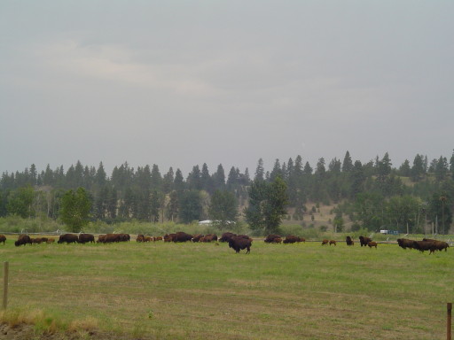
We cycled into and around Victor, where the Rear Admiral mailed some stuff home (good less weight!). We then cycled around Hamilton (population 4,000 with FOUR grocery stores). Had a picnic lunch at the McDonalds in Hamilton (orange, sandwiches, gatorade, and cowboy cookies). After lunch we continued pedaling through Darby. All day...the further we cycled, the better the day got. Out side of Sula, we saw deer, eagles, and bighorn sheep. There is also evidence of a large forest fire some years ago? , as you pedal towards Sula.
We are on a portion of the Transamerica Rte (Adventure Cycling Rte) which connects the two Great Parks section together. The Transamerica is the original route that Adventure Cycling designed. Other routes (Great Divide, Lewis and Clark) also share this section, so you see lots of cyclists.
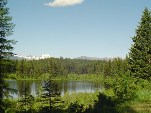
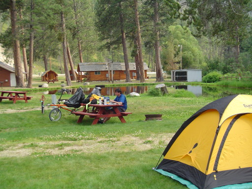
Tonight we are in Sula, with The Prince of Wales II set up near the Bitteroot river. Two tent sites over is Lavern. We thought he would be long gone when we last spotted him in Columbia Falls, and if he didn't take an extra day in Missoula...he would have been. Sula is a one building town, campground/general store/gas station/ restaurant. If you pass through here and need a place to camp, we highly recommend it. We're in Sula setting up for tomorrow morning's climb, which will be two passes, Lost Trail Pass (7040 ft.) and Chief Joseph Pass (7241 ft.)
![]()